Menu
Your Cart

Premium wall maps

Expertly Designed Cartography: Our Walls Maps are created by professional cartographers this map features vivid imagery and bright colors,
highlighting the continent's geography in stunning detail.

Educational and Decorative: Ideal for both classrooms and homes, this Wall Map adds a vibrant touch to any wall while serving as an educational tool
to teach about each country unique landscape.

Durable and Interactive: The Map is laminated on both sides, providing a write-on, wipe-off surface that is perfect for dry erase markers, making it
easy to update and interact with.

Convenient Size: This Map is a convenient size for display in any room, offering a clear and detailed view the map without overwhelming the space.
Creaseless Delivery: Delivered rolled in a tube, your Map arrives without creases, ready to be displayed in perfect condition.

Double sided high quality lamination for the best durability – Lamination is the industry standard and goes a long way to prevent damage to the
posters.

Teachers Love our Wall Maps. Perfect for school maps and dorms.

Explore our laminated maps expertly crafted by professional cartographers. This poster combines educational value and decorative appeal with its
vivid imagery and bright colors, highlighting each map's diverse geography, political boundaries, and major cities. Perfect for classrooms, homes,
and offices, it features durable lamination on both sides, creating a write-on, wipe-off surface ideal for dry erase markers.

Each maps offers a
detailed view of the map's details without overwhelming your space and is delivered rolled in a tube to prevent creases, ensuring it's ready for
immediate display.


Model: pr_2231
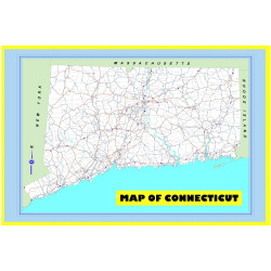
Our Map of Connecticut Large Detailed Roads and Highways, Map of Connecticut State with All Cities, Parks and Landmarks - Laminated Wall Map 2025 edition sets a new standard in accuracy and detail. Unlike older maps that may be outdated, our Map of Connecticut 2025 incorporates the latest satellite ..
$12.99
Model: pr_2315
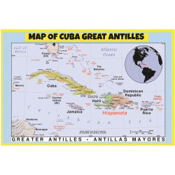
Our Map of Cuba Great Antilles - Laminated Wall Map Poster Print 2025 edition sets a new standard in accuracy and detail. Unlike older maps that may be outdated, our Map of Cuba Great Antilles incorporates the latest satellite imagery and geospatial data. This ensures that every detail of Cuba and t..
$12.99
Model: pr_2203
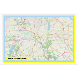
Our Map of Dallas with Neighborhoods, Streets, Roads, Highways, and Parks - Laminated Wall Map Poster Print - Vivid Imagery with Bright Colors 2025 is a cutting-edge depiction of Dallas that sets a new standard in map accuracy and detail. Unlike traditional maps that may be outdated, our 2025 editio..
$12.99
Model: pr_2204
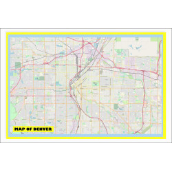
Our Map of Denver with Neighborhoods, Streets, Roads, Highways, and Parks - Laminated Wall Map Poster Print - Vivid Imagery with Bright Colors 2025 edition sets a new standard in accuracy and detail. Unlike older maps that may be outdated, our Map of Denver 2025 incorporates the latest satellite ima..
$12.99
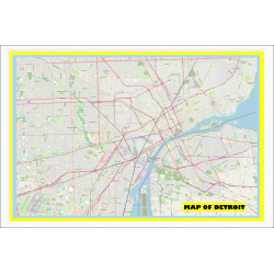
Model: pr_2205
Our Map of Detroit with Neighborhoods, Streets, Roads, Highways, and Parks - Laminated Wall Map Poster Print - Vivid Imagery with Bright Colors 2025 sets a new standard in accuracy and detail. Unlike older maps that may be outdated, our Map of Detroit 2025 incorporates the latest satellite imagery a..
$12.99
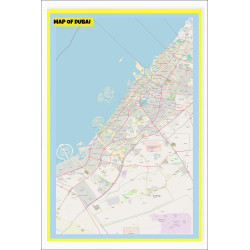
Model: pr_2247
Our Map of Dubai with Neighborhoods, Streets, Roads, Highways, and Parks - Laminated Wall Map Poster Print - Vivid Imagery with Bright Colors 2025 edition sets a new standard in accuracy and detail. Unlike older maps that may be outdated, our Map of Dubai incorporates the latest satellite imagery an..
$12.99
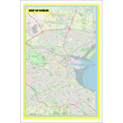
Model: pr_2248
Our Map of Dublin with Neighborhoods, Streets, Roads, Highways, and Parks - Laminated Wall Map Poster Print - Vivid Imagery with Bright Colors 2025 edition sets a new standard in accuracy and detail. Unlike older maps that may be outdated, our Map of Dublin 2025 incorporates the latest satellite ima..
$12.99
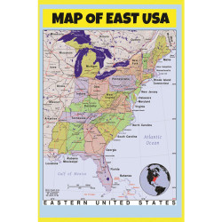
Model: pr_2316
Our Map of East USA - Laminated Wall Map Poster Print 2025 edition is a must-have for classrooms and homes alike. Featuring vivid imagery with bright colors, this map sets a new standard in accuracy and detail for the eastern region of the United States. Unlike outdated maps, our Map of East USA 202..
$12.99
Model: pr_2188
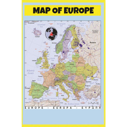
Our Map of Europe - Laminated Wall Map Poster Print Perfect for Classrooms and Homes - Vivid Imagery with Bright Colors 2025 edition is a state-of-the-art depiction of the European continent. Unlike traditional maps that may lack clarity and detail, our Map of Europe 2025 integrates the latest satel..
$12.99
Model: pr_2368
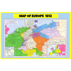
Our Map of Europe 1812 - Laminated Wall Map Poster Print Perfect for Classrooms and Homes - Vivid Imagery with Bright Colors 2025 offers a remarkable depiction of Europe during the historic year of 1812. This poster sets a new standard in accuracy and detail, showcasing the continent with vivid imag..
$12.99
Model: pr_2317
Our Map of Europe Style B - Laminated Wall Map Poster Print Perfect for Classrooms and Homes - Vivid Imagery with Bright Colors 2025 edition sets a new standard in accuracy and detail. Unlike older maps that may be outdated, our Map of Europe Style B incorporates the latest satellite imagery and geo..
$12.99
Model: pr_2291
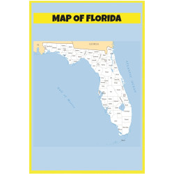
Our Map of Florida - Laminated Wall Map Poster Print Perfect for Classrooms and Homes - Vivid Imagery with Bright Colors 2025 edition is a state-of-the-art depiction of Florida's geography. This poster sets a new standard in accuracy and detail, incorporating the latest satellite imagery and geospat..
$12.99
Showing 49 to 60 of 204 (17 Pages)

Newsletter

×

* E-Mail:

Region / State:

* List: